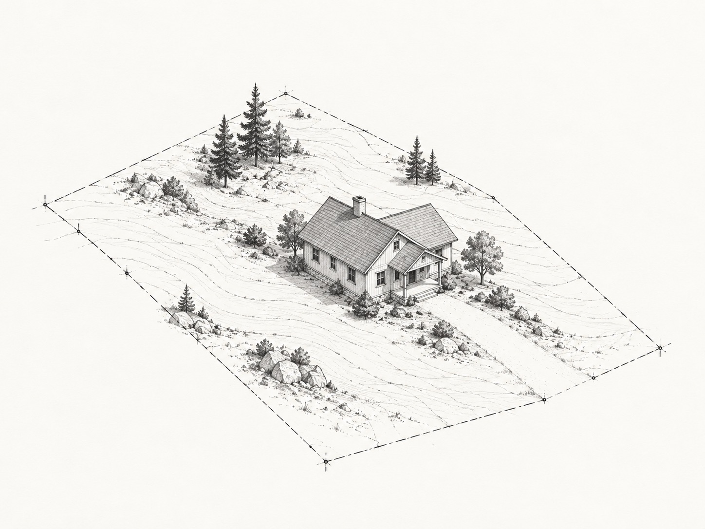
BedrockSync
Know what your land can support.
Parcel, terrain, survey and cost evidence in one project record. Judge a site before you build.
Early access opens in small groups.
We help you take a property from purchase to move-in. Parcel, terrain, survey, design, budget and construction all live in one project record, so you can judge a site before you commit, then plan, build and manage the project on the same evidence. We believe in ranges, not guesses: every number keeps its source and its uncertainty.
- Parcel boundaries
- Terrain analysis
- Cost ranges
- Site constraints
- Version history
- Handoff brief
Every number shows its work.
We keep the source and the confidence next to every input, so you know what to trust and what to verify before you commission a full design.
- Every number labelled with its source
- Confidence shown, never hidden
- Weak inputs flagged before they cost you
- Your own survey data slots in and takes over
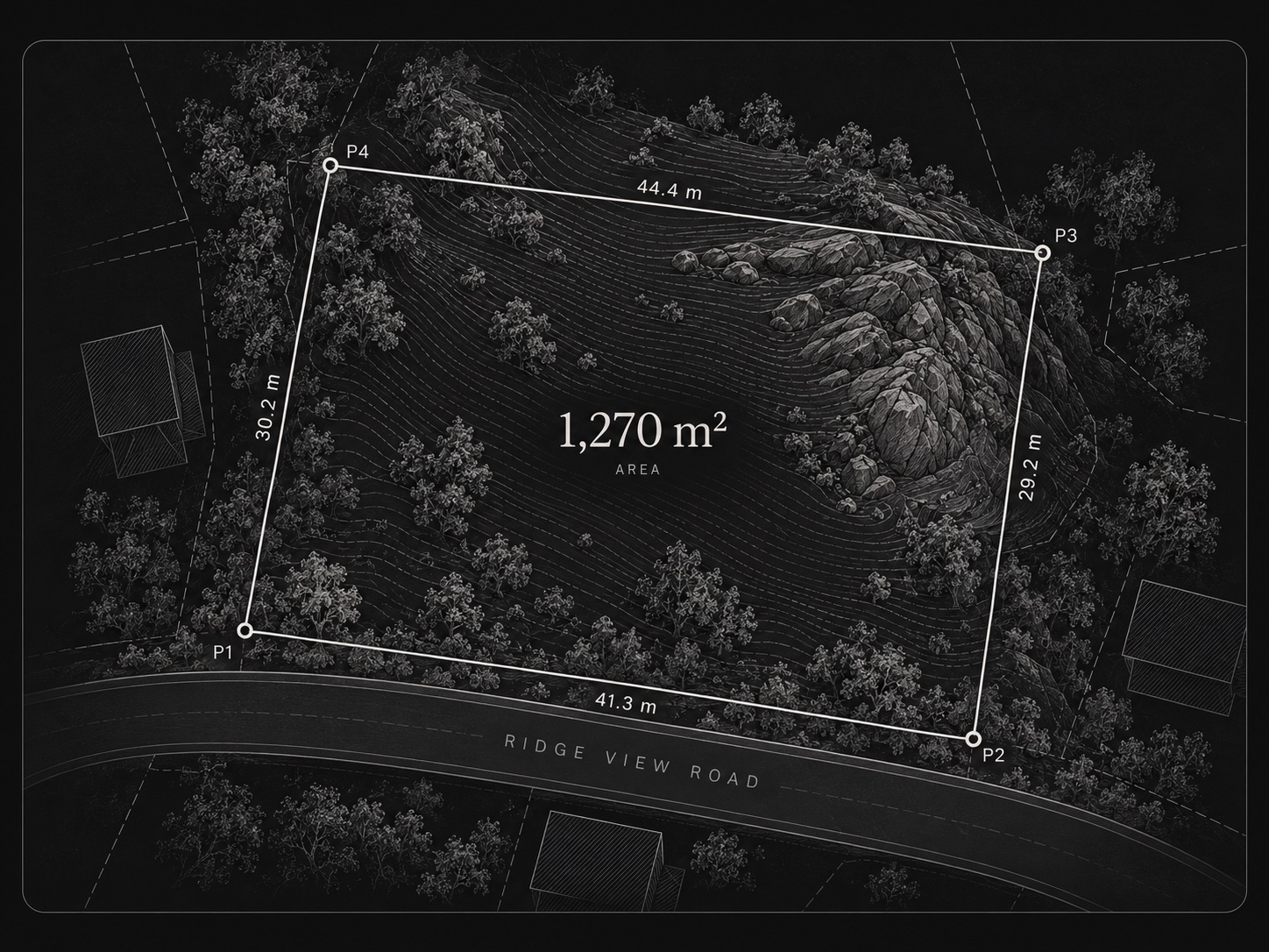
Boundary· matched to the official record
Steep ground· 35° rock slope, needs heavy excavation
Contours· 11 m of fall toward the road
Setback· 3 m from the road, applied
Challenging, high-cost build· major excavation, retaining walls
From parcel to handoff, in one record.
Start with the land
Parcel, boundary, survey and title evidence in one place.
Know what to trust
Terrain analysis with clear confidence and constraint flags.
Test a concept
Place a home concept on your parcel and keep every version.
Ranges, not guesses
Directional cost ranges from local assumptions.
Hand off a clear brief
A package your professionals can review and build on.
Land decisions run on scattered evidence.
We connect site, budget and plan.
Without us
- “I don't know what this land can support.”
- “I have a plan, but not whether it suits the site.”
- “The builder gave me one square-foot number.”
- “Every professional has a different file.”
- “I can't explain why the plan changed.”
With us
- “I see constraints, evidence quality and buildable areas.”
- “I test my plan against the real parcel and terrain.”
- “I see assumptions, ranges and missing inputs.”
- “Evidence, versions and quantities travel together.”
- “Every change keeps its reasoning.”
Three things we promise.
See the land honestly
Evidence keeps its source and its uncertainty. No false precision.
Test ideas in context
Change a concept and watch terrain, access and cost respond.
Hand off a better brief
A reviewable starting point for your architect, surveyor or builder.
Built for people about to buy or build on land.
Owner-builders
Own land, or buying within 6–18 months? Get clarity before you commission a full package.
Building from a distance
One shared record keeps you, your family and your builder aligned.
Developers & professionals
Compare parcels faster and receive better-qualified briefs.
Where we draw the line.
We are
- A land and site intelligence workspace
- A bridge to professional design
- A project record from evidence to construction
- Built around local rules, wherever you build
We are not
- A property marketplace
- A floor-planning or home-design app
- A legal survey or cadastral authority
- A substitute for licensed professionals
Questions.
When can I get access?
In small groups, in the order people join the waitlist. We'll email you when your spot opens.
Does it replace my architect or surveyor?
No. It gives them a clearer brief. Licensed work stays with licensed professionals.
How accurate are the numbers?
We show ranges and confidence, and flag what's missing. Validate costs with a quantity surveyor or contractor.
Which countries does it cover?
Parcel records and building rules differ by country, so we add regions one at a time. Tell us where you're building and it shapes what comes next.
What does it cost?
Waitlist members hear about pricing before launch. A first look is designed to be free.
Know your ground before you build.
Join the waitlist for early access.